Header
Side Menu
Content
Footer
Search
Printer Friendly
Site Map
Contact Government
Keywords
Resident and online services
Search Programs and Services
Forms
Publications
Finding Work
Lost Identification
Moving to or Around Manitoba
Communities around Manitoba
Maps
Online Services
Social Media Directory
Mobile Applications
Business
Search for Business Information
Starting a Business
Business Research
Financing a Business
Registration, Legal and Licencing
Doing Business with Government
Entrepreneurship Manitoba
BizPaS
BizPaL
Government
Premier
Cabinet Ministers
Departments
Agencies, Boards and Commissions
Proactive Disclosure
Legislative Assembly
Manitoba Courts
Manitoba Laws
Visitors
Things to do
Places to Go
Where to Stay
Events
Trip Essentials
Visitor Information Center
Transportation and Infrastructure
Manitoba.ca
>
Transportation and Infrastructure
>
Official Highway Map
>
Historical Highway Maps of Manitoba
>
1940 Maps
Maps of the 1940s
1940-1941
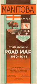
1941-1942
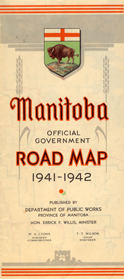
1942-1943
1944-1945
1945-1946
1946-1947
1947-1948
1948-1949
1949
Get Started
Official Highway Map
Index to Cities and Towns
Index to First Nations
Historical Highway Maps of Manitoba
Maps of the 1920s
1926 Map
1928 Map
1929 Map
Maps of the 1930s
1930A Map
1930B Map
1931 Map
1933 Map
1934 Map
1935 Map
1936 Map
1937 Map
1938 Map
1939 Map
Maps of the 1940s
1940 Map
1941 Map
1942 Map
1944 Map
1945 Map
1946 Map
1947 Map
1948 Map
1949 Map
Maps of the 1950s
1950 Map
1951 Map
1952 Map
1953 Map
1954 Map
1955 Map
1956 Map
1957 Map
1958 Map
1959 Map
Maps of the 1960s
1960 Map
1961 Map
1962 Map
1963 Map
1964 Map
1964/1965 Map
1966/1967 Map
1968 Map
1969 Map
Maps of the 1970s
1970 Map
1971 Map
1972 Map
1973 Map
1974 Map
1975 Map
1976-1977 Map
1978-1979 Map
1979-1980 Map
Maps of the 1980s
1980 Map
1981 Map
1982 Map
1983 Map
1984 Map
1985 Map
1986 Map
1987-1888 Map
1989-1990 Map
Maps of the 1990s
1990-1991 Map
1992-1993 Map
1993-1994 Map
1994-1995A Map
1994-1995B Map
1997-1998 Map
1998-1999 Map
Maps of the 2000s
2000-2001 Map
2001-2002 Map
2003-2004 Map
2004-2005 Map
2005-2006 Map
2007 Map
2008 Map
Maps of the 2010s
2010(A) Map
2010(B) Map
2012 Map
2016 Map
2019 Map
Maps of the 2020s
2022 Map
2023 Map
Stay Connected
Join us on Facebook
Follow us on Twitter
Subscribe to our RSS
View our videos on YouTube
Close Window
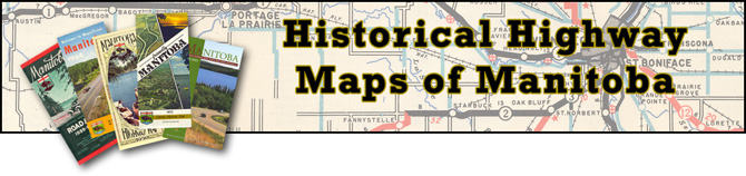
 1940-1941
 1941-1942
  1942-1943
 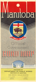 1944-1945
 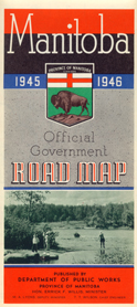 1945-1946
 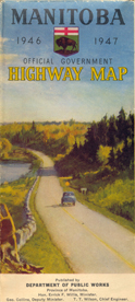 1946-1947
 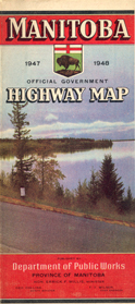 1947-1948
 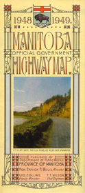 1948-1949
 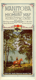 1949
1949 