
Historic Flood - 1979
The 1979 flood represented the first major test of the Red River Floodway. The natural peak flow at James Avenue was roughly equivalent to the flow of the 1950 flood. The flood was caused by a combination of the following:
- a long period of intense cold resulted in a continuous accumulation of winter snowfall
- heavy snowfall south of the border in February and above normal precipitation totals throughout the basin in March and April
- below normal temperatures in early April resulting in a late and sudden thaw throughout the basin
- above normal precipitation north of the border during the first two weeks of May
Ring dikes around St. Adolphe, Morris, Letellier, Dominion City, St. Jean Baptiste, Emerson, Rosenort and Brunkild protected properties within these dikes but the majority of residents, as well as those located outside were forced to evacuate.
The floodway was operated in coordination with the Shellmouth Reservoir and the Portage Diversion to limit the Red River water level to 5.8 metres (19.1 feet) at James Avenue. Without the use of the major flood control structures, the natural water level at James Avenue would have been approximately 9.2 metres (30.3 feet). At the time, the Red River flood of 1979 represented the fifth largest flood on record for the City of Winnipeg.
 |
 |
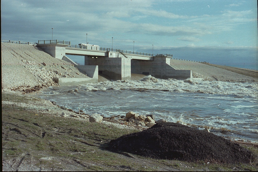
| Red River Floodway Inlet Control Structure, 1979 | Sturgeon Creek at Portage Avenue, 1979 |
 |
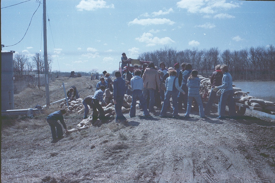 |
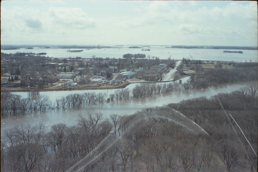
| Aerial image of flooding at Emerson, 1979 | Crew members filling sandbags in Winnipeg, April 30, 1979 |
 |
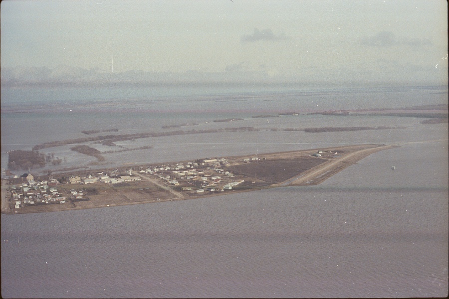 |
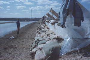
| Flashboarding in St. Adolphe, 1979 | Aerial image of flooding at St. Jean Baptiste, 1979 |
Reports
Please visit the reports page for all Red River Flood Reports