
Historic Flood - 2009
The 2009 spring flood was the fourth highest on the Red River in Manitoba, since 1826. Flood forecasts in February and March 2009 indicated the likelihood of spring flood levels between those of the 2006 and 1979 floods with less than a 10 per cent chance of a flood as large as that of 1997. Spring precipitation was close to average and the melt rate was not unusually fast.
A heavy rainstorm in the first week of November, 2008 was a major factor in the flood. A high level of ground frost from a cold winter kept the ground from absorbing much of the spring runoff. Above average snowpack in the U.S. part of the watershed also contributed to the flood.
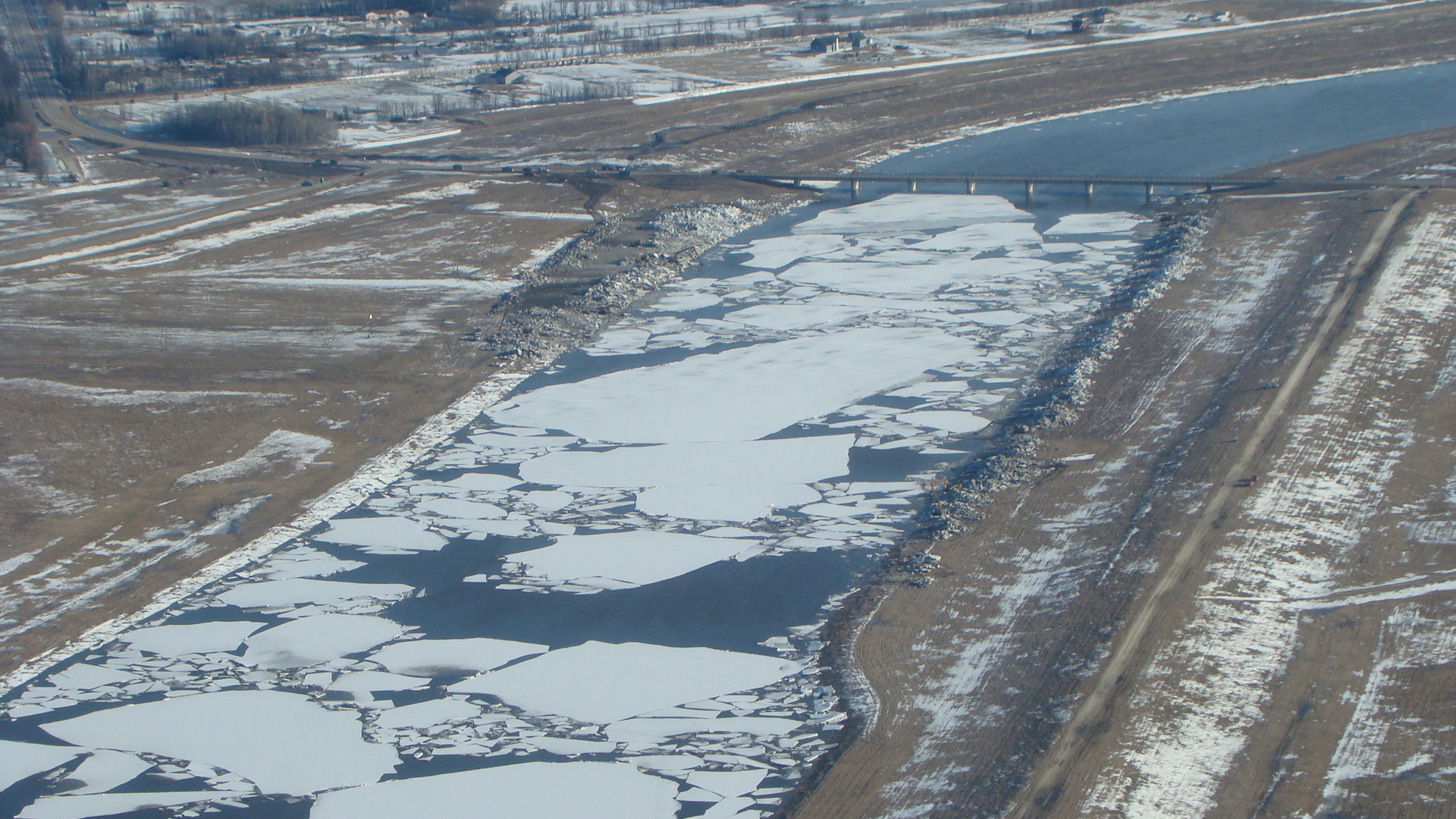
Flooding in the Red River watershed was worse due to unusual ice conditions, which caused blocks in the drainage system and raised river levels beyond what would have occurred under normal conditions. Ice jams in the Breezy Point and St. Peters Road areas north of the floodway outlet raised the Red River about 2.74 metres (9 feet) overnight, at up to 0.6 metres (2 feet) an hour, to record levels. Serious ice jams from Lockport to Lower Fort Garry in the last week of March raised levels in the area to within 0.3 metres (1 foot) of the 1997 crest.
If there had been no flood control works, the crest would have been 9.9 metres (32.5 feet) at the James Avenue Pumping Station in Winnipeg. The river crested in Winnipeg at 6.9 metres (22.5 feet) on April 16, at 0.6 metres (2 feet) lower than in 1997.
The greatest success of the 2009 flood was the protection provided by operation of major flood controls. Operation of the Red River Floodway, Portage Diversion and Shellmouth Reservoir reduced the crest in Winnipeg by 10 feet, preventing billions of dollars in damages. An estimated 250 homes were damaged.
 |
 |
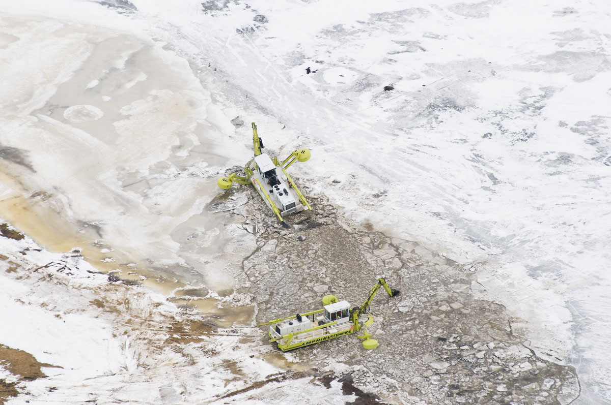
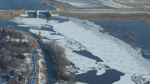
| Amphibex ice breakers move into Red River near Selkirk, 2009 | Aerial image showing river ice formation near the Red River Floodway Outlet Control Structure, March 31 2009 |
 |
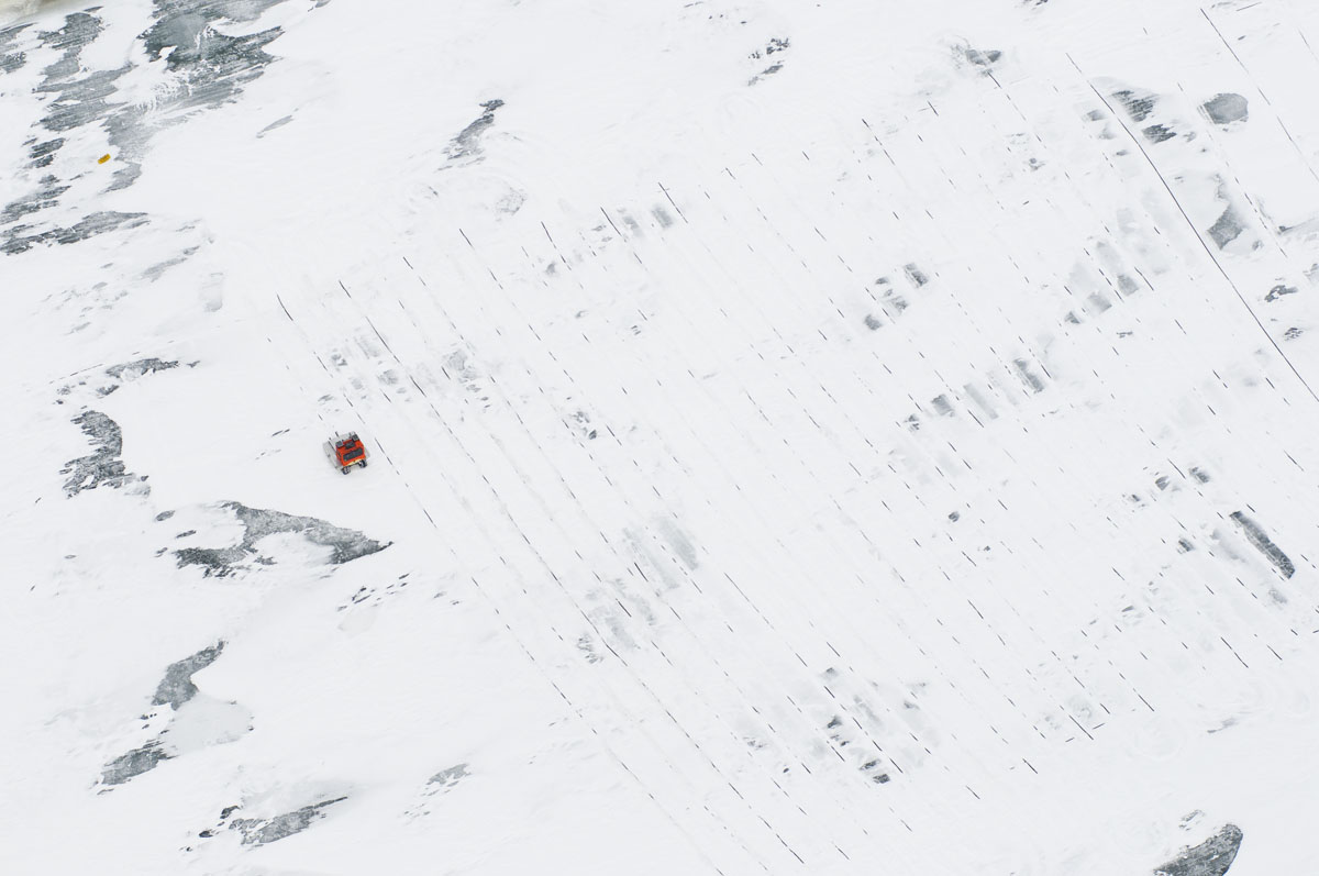 |
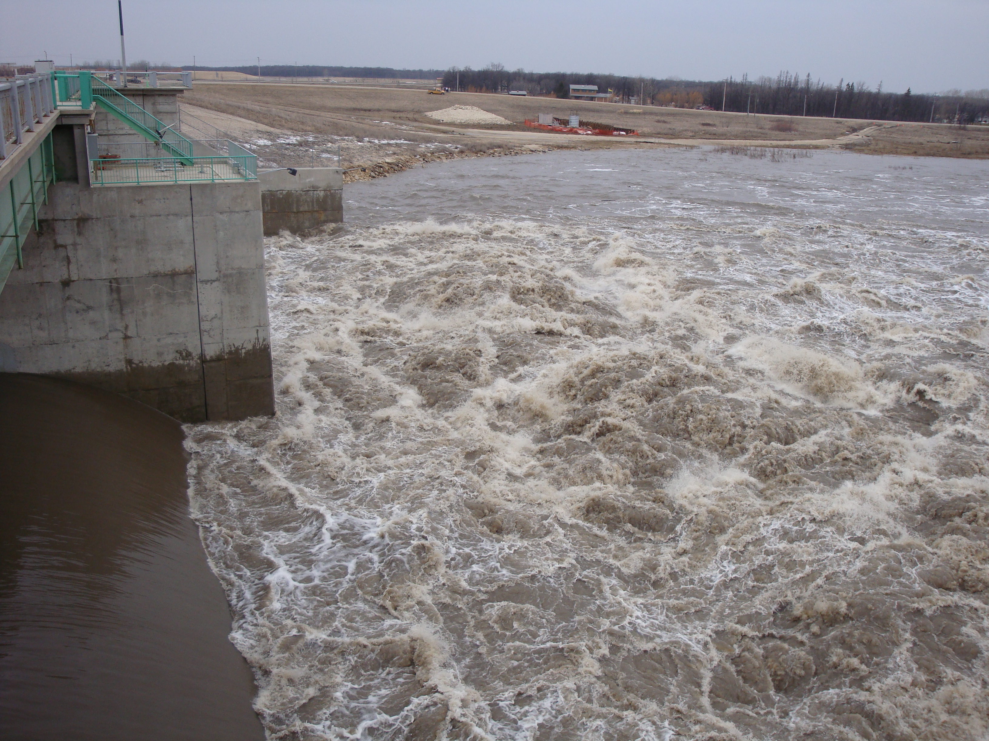
| Water flowing through the Red River Floodway Inlet Control Structure, 2009 | Aerial image of patterns on Red River ice near Selkirk made by ice cutter, March 31 2009 |
 |
 |
| Aerial image of ice jamming in Red River floodway channel, April 9 2009 | Aerial image of ice pans at Red River Floodway Inlet Control Structure, April 9 2009 |
 |
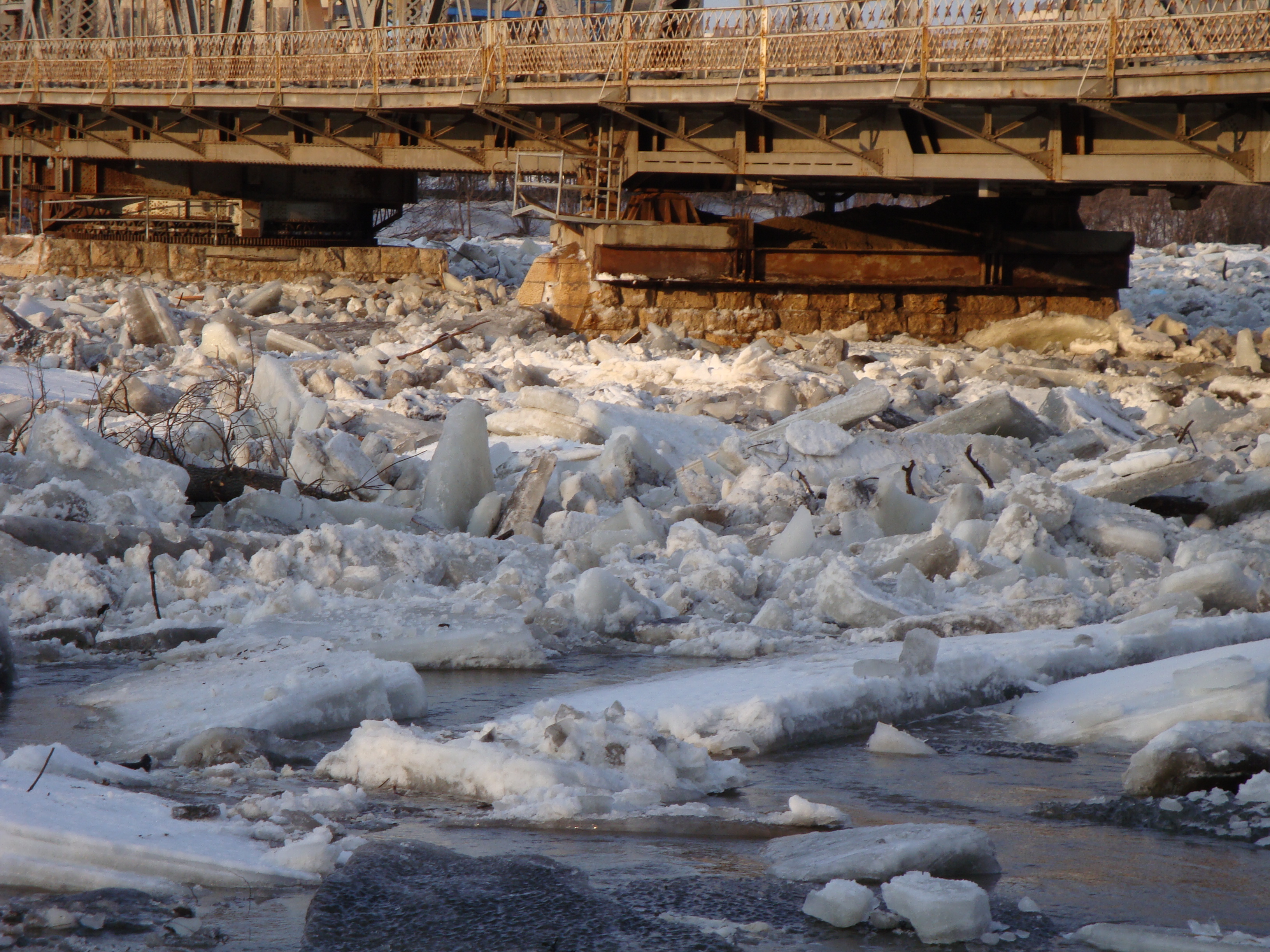 |
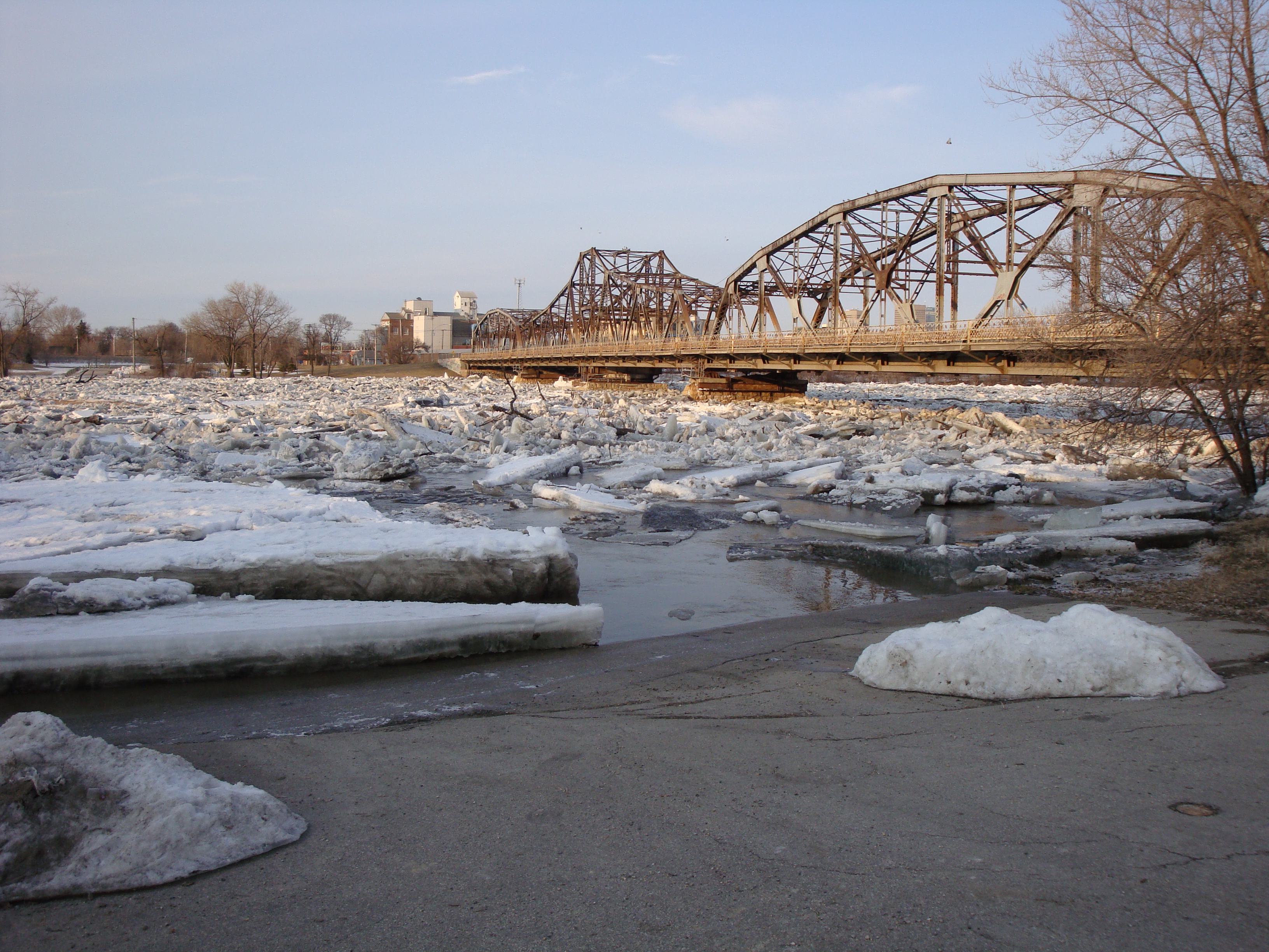
| Ice jam at Louise Bridge, April 11 2009 | Ice jam at Louise Bridge, April 11 2009 |
 |
|
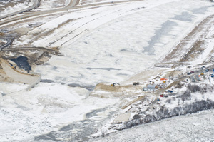
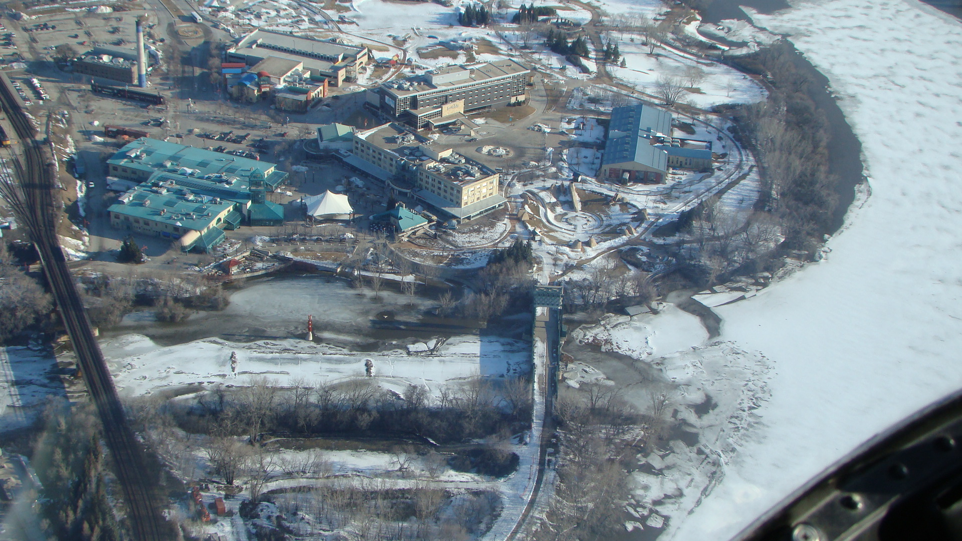
| Aerial image showing ice formation at the Forks in Winnipeg where the Red and Assiniboine Rivers meet, April 9 2009 |
Links
- https://en.wikipedia.org/wiki/2009_Red_River_flood
- http://www.cbc.ca/news/canada/manitoba/flood-2009-already-manitoba-s-third-worst-in-100-years-officials-1.855078
- https://news.gov.mb.ca/news/index.html?archive=week&item=6414
Reports
Please visit the reports page for all Red River Flood Reports